Homepage
Why choose GIS and Geospatial Technologies at PCC?
Salary
The Oregon Employment Department reports the average annual salary of GIS-skilled geographers in the Portland area is between $70,000 and $80,000.

StoryMap Showcase
Explore the StoryMap Showcase site to find the innovative GIS/Geospatial work happening in our department, and see our showcase of student projects created throughout our programs.
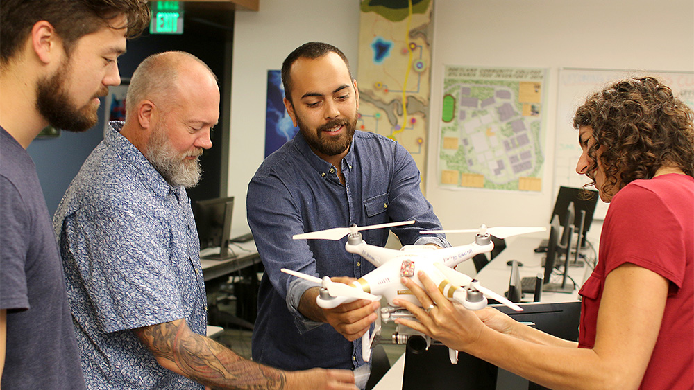
Portland Community College’s GIS & Geospatial programs prepare students for entry-level jobs in GIS, Remote Sensing, Surveying and/or other related geospatial industries. Our programs provide a comprehensive foundation to the tools, technologies, and methods used in the geospatial industry.
Our coursework is designed to be project-based, collaborative, and focused on real-world applications of geospatial tools, using industry-standard software. Students engage with community partners to complete projects focused on local issues. We have a course schedule that can accommodate working students and no prior GIS or Geospatial experience is required.
The Oregon Employment Department forecasts Portland area job opportunities for GIS-skilled geographers will grow 34.4% through 2027.
Geography options at PCC
See all the Geography awards available at PCC.
National Science Foundation grant
Learn about the sizeable NSF grant that was recently awarded to the Geography Department, Enhancing Geographic Information Science Technology Education (eGIST).
Award information
| Award | Length (attending full-time) | Financial aid eligible | Currently accepting students? |
|---|---|---|---|
| Associate Degree: Geomatics | 2 years | ||
| Certificate: Geographic Information Systems | Less than 1 year | ||
| Certificate: Geospatial UAS Specialist | Less than 1 year |
Locations
 Sylvania
What will you learn?
Class information
Learn more about the program
Advising
Student information
What’s happening now
Why learn geospatial tools to make maps?
- Maps give stories context. They are used to communicate issues facing your community.
- Maps can save your life and the lives of others. They can assist your community prepare for natural hazards or climate change, help understand the spread of a virus, and determine the safest place to build new infrastructure.
- Maps simplify complex information that can help community leaders and others make informed decisions.
- Maps are a blueprint of our past, present and future. They can help solve problems facing your community.
- Maps are functional tools that require you to use both your analytical skills and creativity.
What will you do?
Our programs are perfect for:
- Individuals looking for a career that makes an impact and pays a living wage.
- Any professional or student who wants to integrate GIS & other geospatial tools into their current area of study or career.
- Individuals who want to discover and visualize trends, patterns and relationships in the world around them.
Learn more:
- Geospatial Revolution series produced by Penn State University and WPSU
- Lindsey the GIS Professional, A GIS Mapping Story
Transfer to a bachelor’s degree program
After earning your degree or certificate you can transfer to one of these Oregon universities to complete a 4-year degree:
- Portland State University
- Oregon State University
- University of Oregon
- Oregon Institute of Technology
- Western Oregon University
- Southern Oregon University
Next steps
Applying to PCC is free and only takes a few minutes.Apply now
Not quite ready to apply?
We can help you get the info you need.
Related programs
PCC offers more than 90 programs.