This content was published: October 6, 2022. Phone numbers, email addresses, and other information may have changed.
NSF grant allows PCC to help GIS industry remain on the cutting edge of training
Story and Photos By PCC Communications.
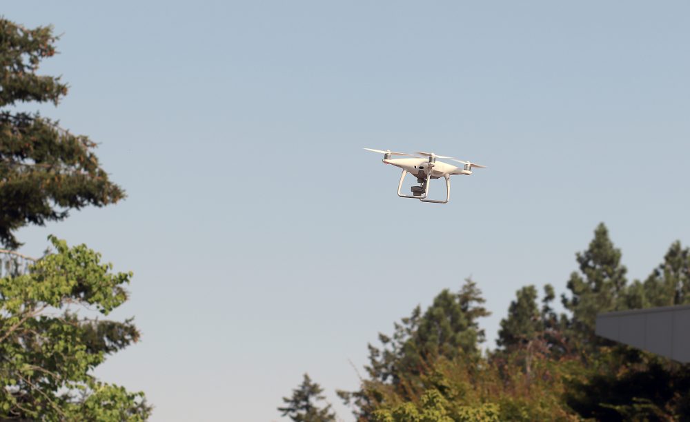
A quadcopter drone flies over the Sylvania Campus.
Geographic information systems (GIS) is an evolving industry with many possibilities for students to train on the latest technology advancements and find well-paying jobs.
Advancements in technology have paved the way for enhanced spatial analyses, providing simple solutions in areas like city planning, conservation, transportation, extreme weather events and pandemics.
This interdisciplinary field, which encompasses geography, computer science and engineering in spatial problem solving, is having a hard time keeping up with the demand for trained technicians. This includes connecting current companies’ employees with training on the new tech and practices.
Portland Community College is addressing this need after being awarded a couple of large grants to its GIS and Geospatial Technologies Program, the recent being a three-year, $650,000 National Science Foundation Advanced Technology Education grant. This latest grant, which started in July, is an extension of the NSF-funded Enhancing Geographic Information Science Technology Education (eGIST) award that created the geomatics degree program, geospatial UAS certificate and funds student internships. It also aims to recruit more under-served populations like women to the field to build the prospect pool.
2022 PCC Bond Measure
Portland Community College will have a $450 million bond measure on the Nov. 8 election ballot. If voters pass the proposed bond, funds would go directly to projects that will improve access to higher education. If passed, it is estimated the measure would maintain current tax rates for local homeowners. If it doesn’t, the proposed services would not be provided and the tax rate would decline.
This comes on the heels of the college refurbishing two existing general-purpose classrooms to accommodate a new GIS computer lab and space for student collaboration. Thanks to work funded by PCC’s 2017 bond measure, the space has new lighting, podiums, high-tech finishes, furniture and computers.
“We are training the next generation of geospatial professionals and ensuring that we provide a support system for our students to eliminate barriers to success,” said PCC GIS Program Chair Christina Friedle. “With these grants and recent facilities upgrades, the goal is to continue to improve student recruitment, retention and completion, and position the geospatial program for future growth.”Thanks to the first grant, the program recently unveiled a new geomatics associate degree and a certificate focused on drones. The latest round of NSF funding will help Friedle diversify her student cohorts and expand the reach of the program’s appeal.
“We have this grant to develop and implement strategies to recruit and retain underrepresented students in the geospatial field using a wide variety of activities,” she said. “This includes working with community groups, industry, high school teachers, community college faculty from many disciplines and GeoMentors. We will work in partnership with the local chapter of The Urban and Regional Information Systems Association, or URISA, on a mentorship program, a summer institute for high school teachers and college instructors, and a ‘Women in GIS’ series to recruit more women into the program.”
Given the many ways GIS technology is used to solve problems, the labor insight tool Burning Glass projects the demand for analysts, technicians and similar jobs will increase 9.3% in the next decade. The median salary for professionals with skills in geographic information systems and technology is $60,158 and those with managerial experience can make $104,908 or $124,200 as a director (per Burning Glass).
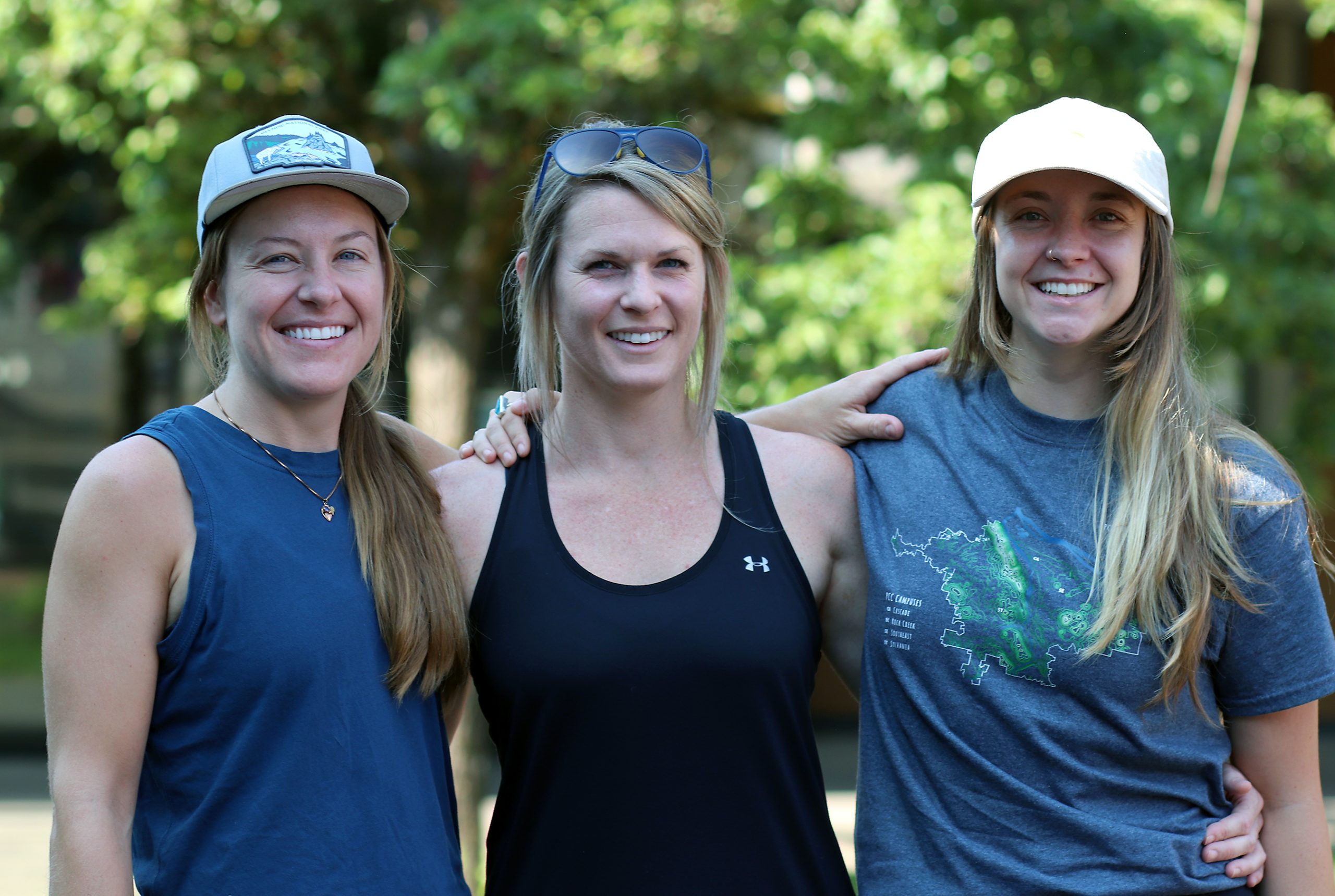
Current GIS student Emma Oury of Northeast Portland has a plan to graduate and find employment. She has a background in environmental science and marine biology, and feels the GIS/UAS classes will give her a leg-up on employment opportunities in the field of conservation.
“I really love how technical the classes are,” Oury said. “It’s not just learning about theory. It’s the actual practice of getting to do it and I feel confident that I will be able to complete tasks in a work environment because of all of the real-world experience I gained through the program.”
Chelsea Gross of Wilsonville said she likes the instructors and the hands-on projects, giving her an idea of what she’ll do in the field. Gross wants to continue her career pursuing UAS wildfire support using the new mapping tool skill sets she is learning in the program.
“You get to fly,” she explained. “I’m really glad I’m now getting into the drone classes. It’s what I’ve been waiting to do for the entire year of the program.”
Kelsey Scott of Troutdale said the program also gives her practical applications to set her up for employment.
“It’s a ground-breaking career to get into right now,” Scott added. “With the technology advancing, it’s only going to get cheaper. So if you get into the field right now, the sky’s the limit.”
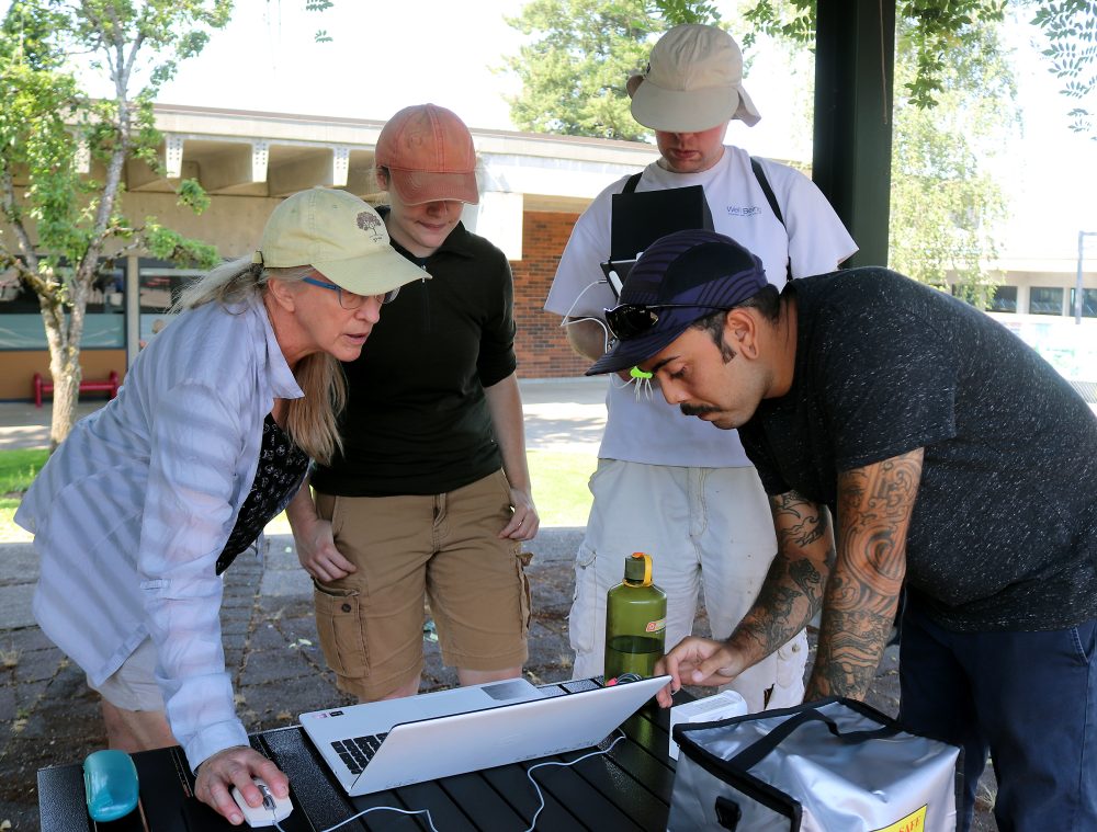
Students analyze mapping data from a recent flight of the class’ drone.
Science, Technology, Engineering, and Math (STEM)
The GIS and Geospatial Technologies Program is part of PCC’s STEM academic pathway. Students can launch their professional careers in one of these programs or earn credit with science classes that will transfer to a university.
For more details visit: PCC science programs
For more information on PCC’s GIS and Geospatial Technologies Program: PCC GIS website