This content was published: September 3, 2019. Phone numbers, email addresses, and other information may have changed.
NSF presents PCC with sizable grant to expand geomatics effort
Story by James Hill
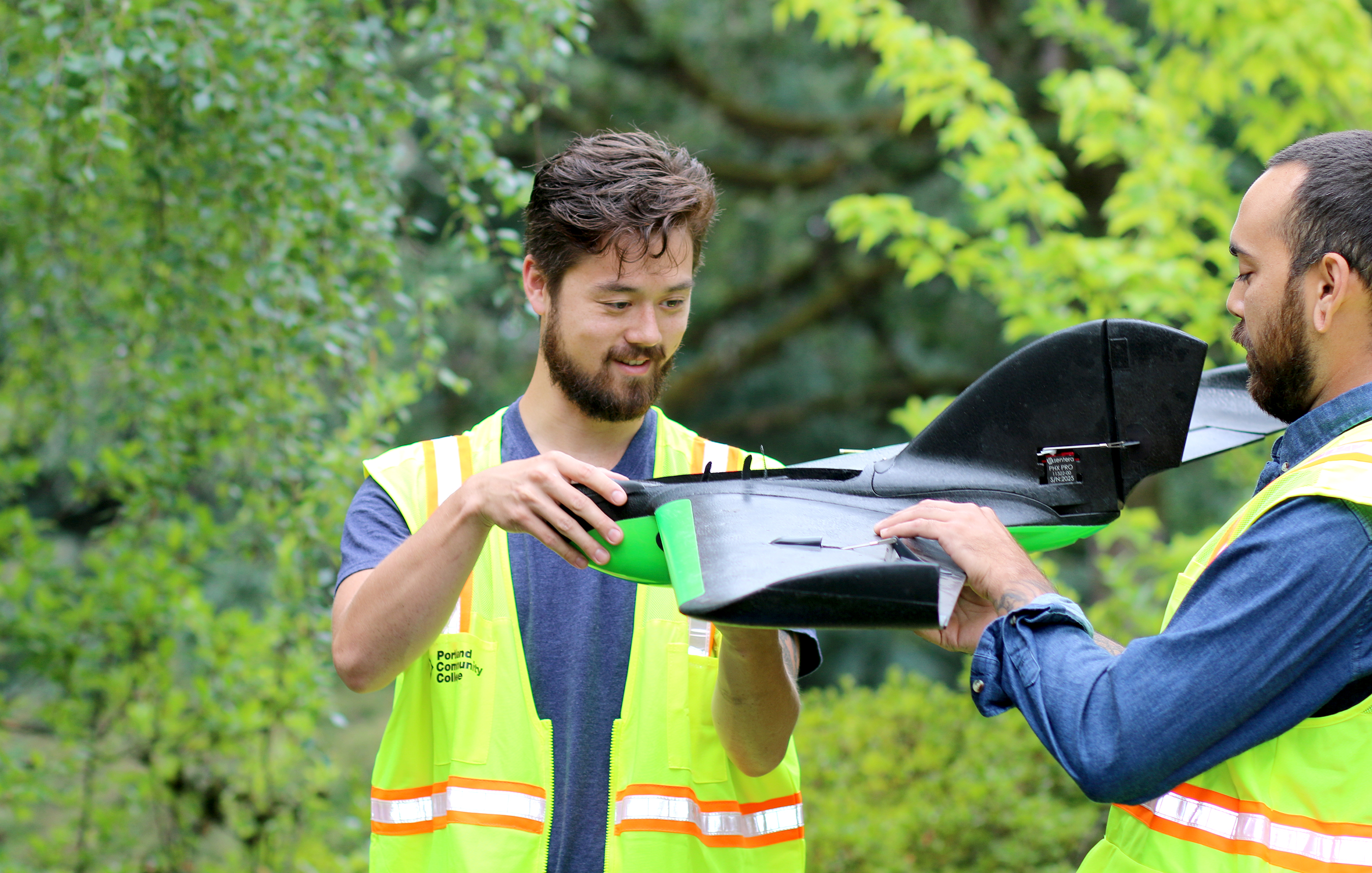
Students Devin Shiang (left) and Krishna Sunglieng inspect a fixed-wing drone.
The National Science Foundation (NSF) has awarded Portland Community College with a three-year, $563,123 grant to establish the Enhancing Geographic Information Science Technology Education Project (eGIST).
This project, funded through June 30, 2022, will expand GIS course offerings and create stackable credentials in geomatics, GIS, and Unmanned Aircraft Systems (UAS) through partnerships with NW Geotech Center and other community colleges developing industry-specific curriculum in these areas. GeoTech is an organization that works with two-year colleges to develop geospatial programs.
Instructor Christina Friedle said the NSF grant will help recruit under-represented students to STEM and GIS fields.
The eGIST Project will provide up-to-date equipment for the GIS labs, examine curricula for inclusionary approaches for under-represented students, and recruit and retain those students in STEM fields through curriculum, lab exercises and problem-solving activities.
“This project is needed to train the next generation of geomaticians in Oregon,” said Christina Friedle, geography instructor and principle on the grant project. “Many surveyors today are not trained on the emerging geospatial technologies that have become more relevant in the field.”
Geomatics deals with the collection, analysis, and interpretation of data relating to the earth’s surface. It is an emerging interdisciplinary area within the Geographic Information Science Technology field. Friedle said it is critical to national security, and is significant for businesses as they solve U.S. and global societal, economic, and environmental challenges.
Thanks to the NSF funding, PCC students will be able to complete a two-year geomatics degree and update technical skills and competencies to meet current industry expectations. The new degree will address workforce demands for surveying, geospatial and civil engineering technicians, as well as prepare students for further education and entry into the geomatics (geospatial) engineering profession.
Additionally, the eGIST Project will create a career pathway with industry-validated curriculum in a UAS certificate.
Oregon ranks sixth in the nation with the highest concentration of jobs for geographic information specialists, and the Portland metropolitan area is one of the top-ten areas in the nation with the highest employment for these jobs, according to the U.S. Department of Labor. The current demand in Oregon exceeds the number of qualified professionals for these positions, Friedle said. As demand for graduates trained in collecting detailed, highly accurate and precise data about the region’s land, resources and assets grows, the skills gap will continue to worsen without a way to train additional graduates.
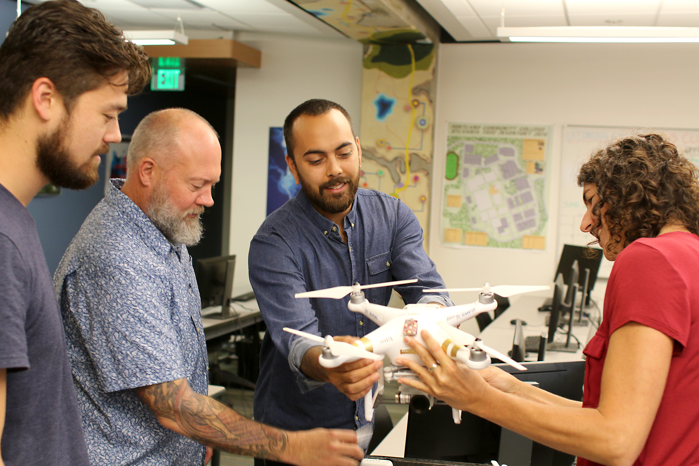
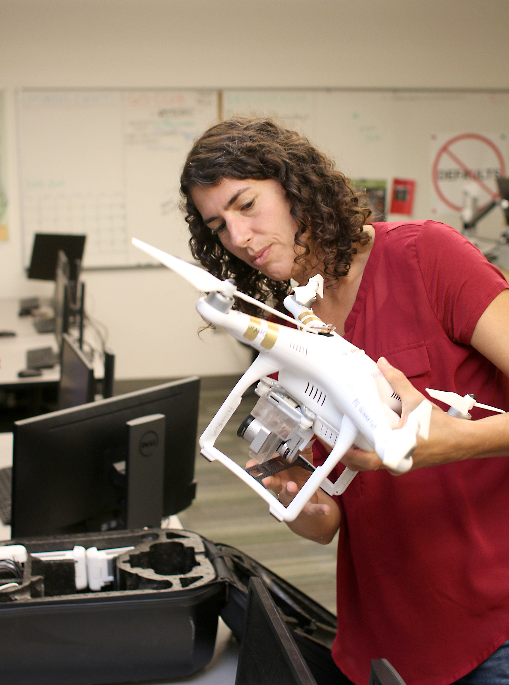
Left to right, Shiang, Mike Holscher and Sunglieng help Friedle put together an Unmanned Aerial Systems unit, or drone.
“PCC is in a key position to fill this gap in Oregon because we already have established programs and have the expertise, skills, and technology to train the future geomaticians,” Friedle added.
Partners on eGIST include Oregon Institute of Technology, Portland State University, Quantum Spatial, US Geological Survey, Oregon Department of Transportation, Lower Columbia River Estuary Partnership, Tryon Creek Watershed Council, and the City of Hillsboro. The project will strengthen relationships with industry, and create a pathway for GIS students to transfer to PSU and OIT.
In the last five years, enrollment in GIS courses at PCC has increased 97 percent and the annual number of GIS certificates awarded has more than doubled to 43 from 19 in 2014.
Friedle said the ultimate goal, besides filling the industry’s skills gap, is to increase the diversity of the workforce.
“Geomatics, land surveying, and geospatial sciences tend to lack racial, ethnic, and gender diversity,” she said. “We would like to change that by preparing the next generation of geomaticians to bring the right technical skills, but also a diversity of backgrounds and experience into the field.”
About James Hill
James G. Hill, an award-winning journalist and public relations writer, is the Director of Public Relations at Portland Community College. A graduate of Portland State University, James has worked as a section editor for the Newberg Graphic... more »

As a current GIS certificate student at PCC, I am so excited by this development! I am a nontraditional student, working full time while attending school, and I hope this funding enables PCC to increase their online, hybrid, or evening GIS classes, in addition to offering more opportunities for higher level classes teaching more 3D analysis and modeling skills.