Student profiles
Megan Thayne
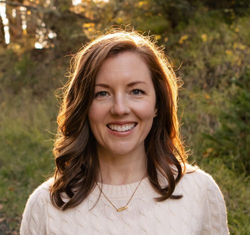 While finishing foundational courses for my undergraduate degree in Environmental Sciences, I took an introductory GIS course at PCC. I quickly realized how GIS could complement my career path and enrolled in PCC’s GIS certificate program. While in the program, I was able to take various electives including Remote Sensing, Cartography, and Interactive Map Design. The coursework and instructors engaged the latest GIS technology and provided ample resources for a successful experience. Beyond the coursework, I was able to participate in PCC’s GIS Club. This created a sense of community and afforded additional opportunities to gain skills and network with GIS professionals.
Supportive instructors and relevant curriculum enhanced my experience in the program and equipped me with marketable skills. These skills were not only useful in my undergraduate studies but were also instrumental in helping me land internships and jobs. As part of the Geospatial Applications course, I was paired with a local nonprofit organization to apply geospatial knowledge and skills to a real-world project. Because of this opportunity, I continued on as an intern with the nonprofit organization after the completion of the program. What started out as a peripheral skill to complement my Environmental Sciences degree, has actually become the focus of my career. I owe my current position as a Geographer to the skills gained and connections made through PCC’s GIS certificate program.
Jay Monk
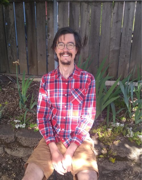 I appreciate the education and support from the community of instructors and peers at PCC in preparing me for the career in GIS that I’m working in now. At present, I am working for NV5 as a senior technician in a role producing imagery and vector data. I would not have been considered for this position were it not for the GIS certificate from PCC and prior education (NV5 also requires a 4-year degree). I completed PCC’s certificate program in 2020 and continued taking classes at PCC through the winter of 2022; I was hired in my current job in the summer of 2022. Two years of job searching to get my first job in GIS seemed like a long time, but the benefits to me now made it worth the wait.
I was introduced to GIS in 2019 at PCC. Before that, I’d used maps for navigation and trip planning but did not know what GIS was. I did a job as a tour guide in 2018 and that experience turned me onto geography and the possibility to make maps for work. The change to a GIS career has provided me with consistent income that is nearly double the annual income of what I earned before learning GIS at PCC.
One of the classes I did at PCC, Geo 252 (Geospatial Modeling with Drones) was the key course that opened the door for me to get the job as a senior technician at NV5. We learned to produce Ortho imagery from drone surveys through six labs in that class. The application of GIS and remote sensing concepts, combined with the lab experience that provided me with a work sample, were key factors that led to me doing the work I’m doing now in imagery production.
I will say, the day to day of work is not as exciting as the learning challenge of lectures and labs at PCC. Applying the learning to making data for maps has become routine, sometimes monotonous even. I like it when there’s a problem to solve and I get to troubleshoot the data and process, and develop a solution.
Bianca Signorini
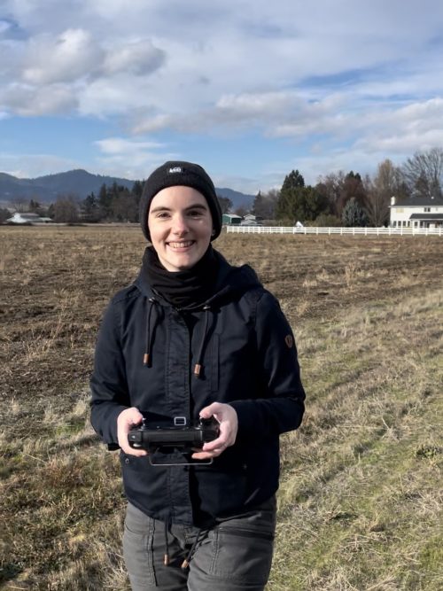 I first encountered GIS while working seasonally in range management. I originally collected data on paper – manually scrawling coordinates, getting lost in the field searching for remote features on paper maps, and losing data when survey sheets were inevitably lost or damaged. When I was first given an iPad with data collection capabilities from the local GIS manager, I was floored by the efficiency GIS provided for collecting, storing, and interpreting data.
When I transitioned from seasonal work, I used my savings to pursue PCC’s GIS program which I’d heard great things about and had a lower barrier of entry than a 4-year school. While I was there, I became aware of the UAS program and was drawn in by the versatility of UAS applications in land management.
I can’t say good enough things about the PCC GIS and Geospatial UAS programs. On top of the fundamental GIS skills that kickstarted my career, I was empowered to network by the instructors who are well-connected and experienced in the GIS world. I started at PCC with no four-year degree, no technical GIS experience, and a non-existent network in the northwest GIS community, and now my young career is more exciting and rewarding than I knew was possible when I started attending classes in 2019. The importance of the strong, expanding network from PCC can’t be understated in my current role.
A year and a half after graduating, I am currently a GIS Analyst building a UAS program at Bat Conservation International. Due to the skills PCC taught me and the network it helped me build, I am now part of a multidisciplinary team furthering our mission of protecting and restoring bat habitat by providing geospatial data collection methods to our field crews, using GIS to effectively QC data, and creating report maps to present our results. My current focus is building BCI’s UAS program, from purchasing and managing a cutting-edge fleet, setting up safety protocols and checklists, educating my coworkers about different use cases, and developing data processing workflows. The UAS data I collect will be used to digitally locate cave and abandoned mine features on a landscape level for our field crews to more efficiently conduct surveys, continually monitor restoration efforts, and provide land managers with affordable, timely, and high-resolution data to make management decisions.
Shahbaz Khan
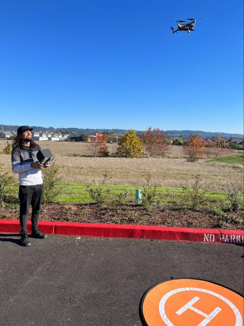 “What even is GIS?”
That was my first, genuine question coming into PCC’s GIS certification program. I never would have expected my short time at PCC to open up an entire world of possibilities.
I’ll start by saying I mostly disliked my 4-year college experience. During my time in undergrad, I struggled to find a program that felt like a true fit – I sampled classes in education, sociology, agriculture, and more until finally settling on plant biology and ecology. I bounced from one job experience to another, never really finding a career that tied it all together.
Recently, I started seeing “GIS” as a preferred skill on job applications and thought it might be a nice addition to my resume (once I could figure out what it stood for). I only planned to take one class at PCC, but within that short intro course, I learned enough of the basics to become hooked, and was sold on its functionality; GIS has a broad scope in its applications and is one of the most interdisciplinary sciences I’ve encountered. I amassed a diverse array of project management experience with the freedom and support from the instructors to personalize it to my interests. I still can’t get over how I could rapidly elevate my career path with such an affordable, accessible, and comprehensive education (and with flexibility in my schedule).
I now work as a GIS and Conservation Technician at West Multnomah Soil and Water Conservation District (I still feel so professional saying that out loud) and can attribute the attainment of that role to PCC’s program. Nowadays, I’ve found how GIS has served as the intersection across all my passions, and it’s thanks to exploring real-world uses of GIS tech, developing practical skills, and the professional training I received through my coursework. For some examples, I’ve been able to explore demographic mapping to help identify disparities in access to our district-wide services for focused communities based on census data, use data of high-value oak habitat in our region to inform our conservation strategies in efforts to support connectivity and restoration, and manage drone flight mission planning to capture aerial photography of working forests and perform remote surveys of invasive weeds. I still can’t believe it took me less than 1 year to get to this level of understanding in GIS and that I could tie in my background without being boxed into the traditional and expected track to success – I’ll always recommend this program, and am grateful for the platform and network it provided me. I’ll always profess the value of the Geographic Information Systems certification program to any and all who are ready to dive into an innovative field and ready for the next step in their career!
Joseph Stout
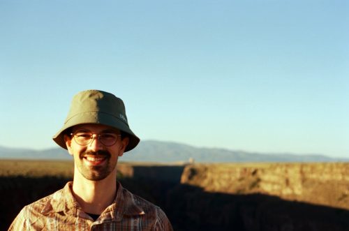 I first developed a fascination with maps through a love for biking around Portland and hiking in the Pacific Northwest in conflict with my terrible innate sense of navigation. Maps were crucial to finding my way around town and out to trailheads once I started venturing out on my own, and understanding how the road and trail networks connected helped me find my way when I got turned around.
Later on, I took a couple of GIS courses while studying for my undergraduate degree in environmental science. I was still hiking and exploring the vast trail networks in the Klamath-Siskiyou ecoregion, getting to know the vast as well as working in and studying the coffee industry, trying to understand how climate impacts would affect different growing regions and the myriad factors influencing crop yields and quality. To be honest I didn’t care much for GIS at first, and was leery of the idea of working at a desk. But during these initial courses, I caught a glimpse of the analytical power of GIS to answer spatial questions (even though my maps weren’t very pretty).
A few years later I was looking to make a career change and, after some reflection, decided GIS might be the way to go. I enrolled at PCC and found the program dynamic and interesting. I was impressed by the quality of the courses, but especially by how engaged and supportive the instructors were. Since most of them currently work in GIS too, I felt the course material was cutting-edge and prepared us well to enter the field. I was also extremely fortunate to land a six-month internship with the Nature Conservancy through PCC’s NSF-funded internship program; this was a dream position and, combined with my courses, helped develop my GIS skills and learn to “think spatially”. I also got my Part 107 drone pilot license, and while my job is remote and doesn’t involve drones, it was a very interesting, fun, and valuable part of the experience, especially for folks who still might want a chance to work outside some of the time.
Shortly after completing my GIS certificate and internship, I landed what I can only describe as an ideal job with GreenInfo Network. GreenInfo Network is a non-profit GIS consulting firm that provides mapping and data support to public interest groups. We create, analyze, visualize, and communicate data in the public interest. I enjoy the broad focus of the clients we work with, from local land trusts and social equity groups to education and social justice-oriented organizations. The diverse nature of our clients’ needs also means that no two projects are quite alike, and so there is endless opportunity to learn new tools and techniques and solve interesting puzzles, and a nice blend of data-focused analysis work with creating elegant maps and visualizations. It’s not often easy, but it is always interesting and rewarding work. I still feel like I am just scratching the surface of this seemingly endless field at this point in my career, but PCC’s GIS program provided an excellent foundation to build on.
Neil Green-Clancey
I began PCC’s GIS program at age 40. My career path had been meandering for quite a while, and I’d been feeling frustrated and unfulfilled in that part of life as a result.
A career counselor at WorkSource Oregon suggested that Geographic Information Systems would be a field that might appeal to my desire for problem-solving in frequently changing and varied situations and my need for flexibility and autonomy in a work environment.
While I’d always felt I had an ability to visualize places in space well, I never gave much thought to maps in general, and had considered myself to be “bad at geography”. After beginning the introductory courses, it became apparent to me that GIS is SO much bigger than just where places are on a map. I learned tools that use location and data to understand patterns of behavior, and how to suggest solutions to complex problems in varied fields like ecology, epidemiology, commerce, and infrastructure management. In addition to receiving instruction in industry-standard software applications and programming languages, my program experience also included internships that allowed me to apply these skills in a practical environment while being able to rely on the excellent support of PCC program advisors in navigating new challenges.
As a result of the education, support, and opportunities provided by the GIS program at PCC, I was able to produce a portfolio of work that showcased my skills and practical experience, and which ultimately helped me secure the best job I’ve ever had. I’m now a GIS and Data Analyst at the City of Vancouver, Washington, where I get to work on projects that matter to me and to the employees and residents of the city.
Austin Charron
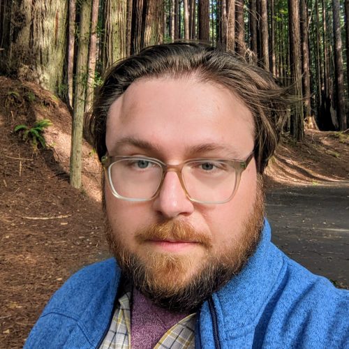 Although I am a relative newcomer to GIS, I have a rather extensive background in the field of geography more broadly; in 2018 I completed a PhD in geography at the University of Kansas with a focus on cultural and political geography in Eastern Europe and the former Soviet Union, and for many years I pursued a career in academia. When the COVID-19 pandemic hit in 2020 I was a postdoctoral fellow at the University of Wisconsin with only a few months left on my fellowship and no solid prospects for a permanent position in an overcrowded and highly competitive academic job market, and the pandemic only exacerbated this situation. My dwindling career prospects coupled with general anxieties about the future in those dark days of 2020 caused me to reevaluate my life priorities, and I ultimately decided to step away from academia and move back to my home state of Oregon to be closer to family and the splendor of the Pacific Northwest. I hoped to parlay my background in geography into a new career outside of academia but struggled to find a position that would utilize my skills as a human geographer, so I ultimately decided it was time to refocus on GIS and the new career opportunities it could provide. I had taken a handful of enjoyable GIS classes as an undergrad and grad student but had remained laser-focused on the human side of geography throughout my education, so in the fall of 2021 I opted to enroll in PCC’s GIS certificate program to bolster my meager GIS skills and receive proper training for a GIS-focused career.
Despite my initial reluctance to enter a community college program after already having completed a Ph.D., I found the GIS certificate program at PCC to be absolutely stellar. All of my instructors were kind, professional, and highly effective at communicating their extensive knowledge of the technical, creative, and professional aspects of GIS. My courses were challenging and rigorous, and imparted all the foundational skills and experiences I would need to begin a career in GIS. I completed the program in one year and entered the job market with an impressive portfolio of work and confidence in my abilities as a budding GIS professional. I primarily focused on applying for government positions, and after about six months on the job market, I landed a position with the City of Dallas, Oregon as a GIS Technician in the Public Works Department.
Dallas is a small city that had yet to develop a full-fledged GIS program for monitoring and maintaining its public utility data when I was hired as the city’s sole full-time GIS professional. Thus, since beginning my position in early 2023 my primary task has been to digitize and compile attribute data for the physical infrastructure of the city’s sanitary sewer, storm sewer, and water networks, and to create new interactive maps and tools for the city’s public works crews and other internal users. As the city’s primary and most experienced GIS user, I have also been tasked with creating several one-off maps for various projects and initiatives as they arise, allowing me to flex my cartographic muscles as well. I am given a tremendous amount of freedom in my position to determine how best to approach GIS-related problems, and to identify the projects that I believe will be most beneficial to the city and its residents–for which I have many ideas as I move beyond the initial task of bringing the utility networks into a GIS environment. In all honesty, making a rather dramatic career shift has been difficult, but I am very fulfilled in my new job and happy with my decision to commit to a career in GIS. I have PCC’s GIS certificate program to thank for helping me get where I am now, and I am excited about where this new career may ultimately take me.
